Hi everyone,
my name is Jason Tian. I am the BIM manager of SvN Architects and Planners.
I have encountered this problem while our landscape team are still working on AutoCAD for their elements. however, they want their products to be always matching the location data from GIS software. however, when we load their CAD file in, it will always be a huge headache saying the file is out of the range for 23km.
So i found a walk around, i created a new container CAD file, and use xref to “attach” not “overlay” the landscape file to the new file. move the landscape file block to 0,0 where it matches our architectural origin. then if i load the CAD file in, it does not show me the annoying notice anymore. and the CAD file will be “LIVE” file instead of cleaning up their file all the time.
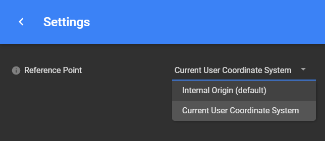
is there a better way to achive this? for example to use shared coordinates? but i do find them not matching UTM sometimes. let me know your thoughts please.