Is it possible to project points or lines such as highways to a Digital Elevation Model upon send from QGIS?
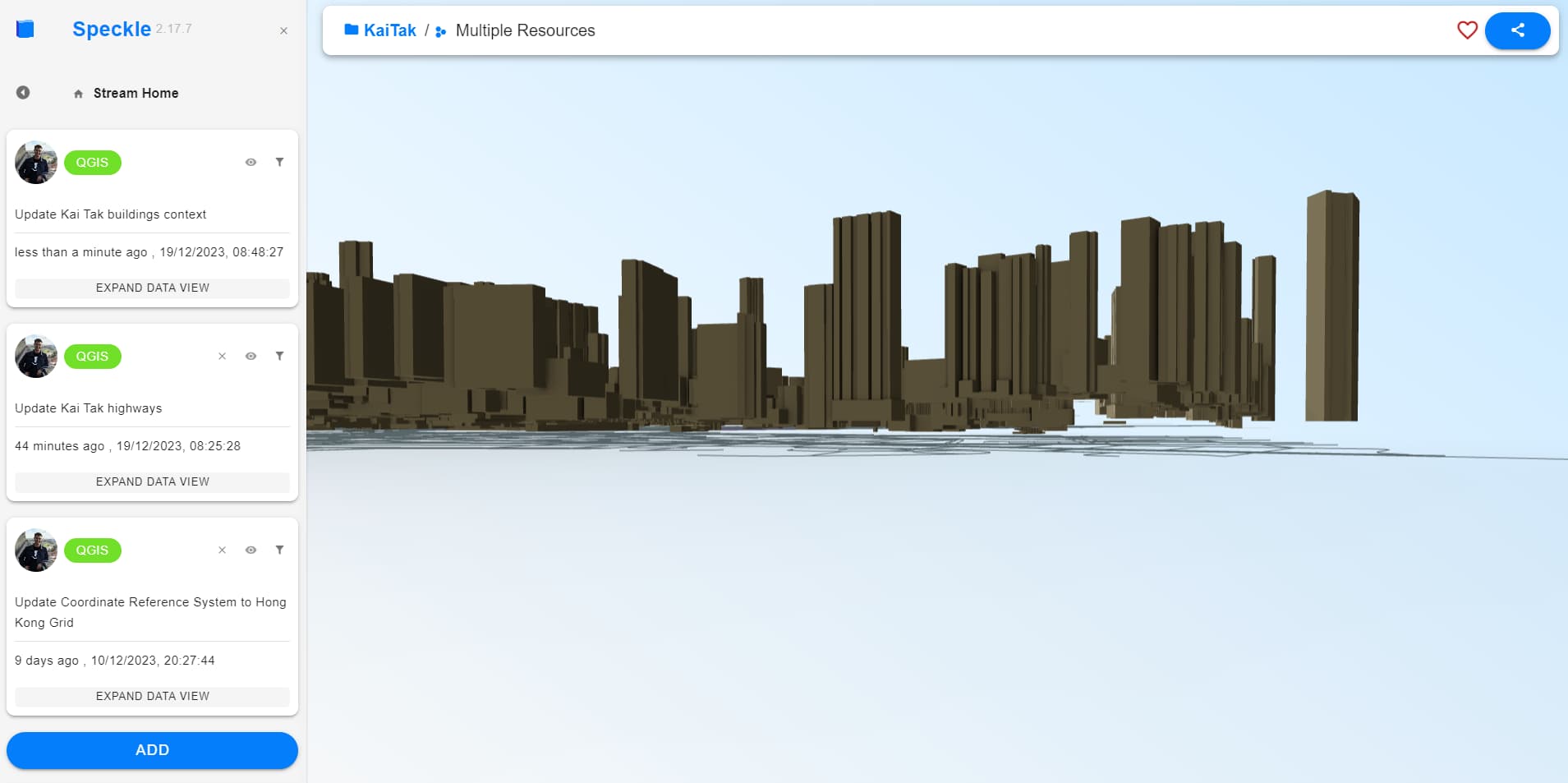
My buildings (created following the Create 3D context tutorial, freaking awesome
Is it possible to project points or lines such as highways to a Digital Elevation Model upon send from QGIS?
I agree
It’s a good suggestion. I suspect it would be a separate methodology, but I can add a ticket for consideration. I expect it will get attention in the new year.
Hi @JoostGevaert ! Projecting other geometries except extruded polygons (buildings) would be a great feature, just needs some more scoping. For example, how to deal with the areas where terrain resolution is higher than the street segments resolution (so the road will be cutting through the terrain at some point). Point data should be no issue, just might need a use case to kick-start.
Excited to see where this development would go ![]()
Happy 2024, and thanks for the reply ![]()
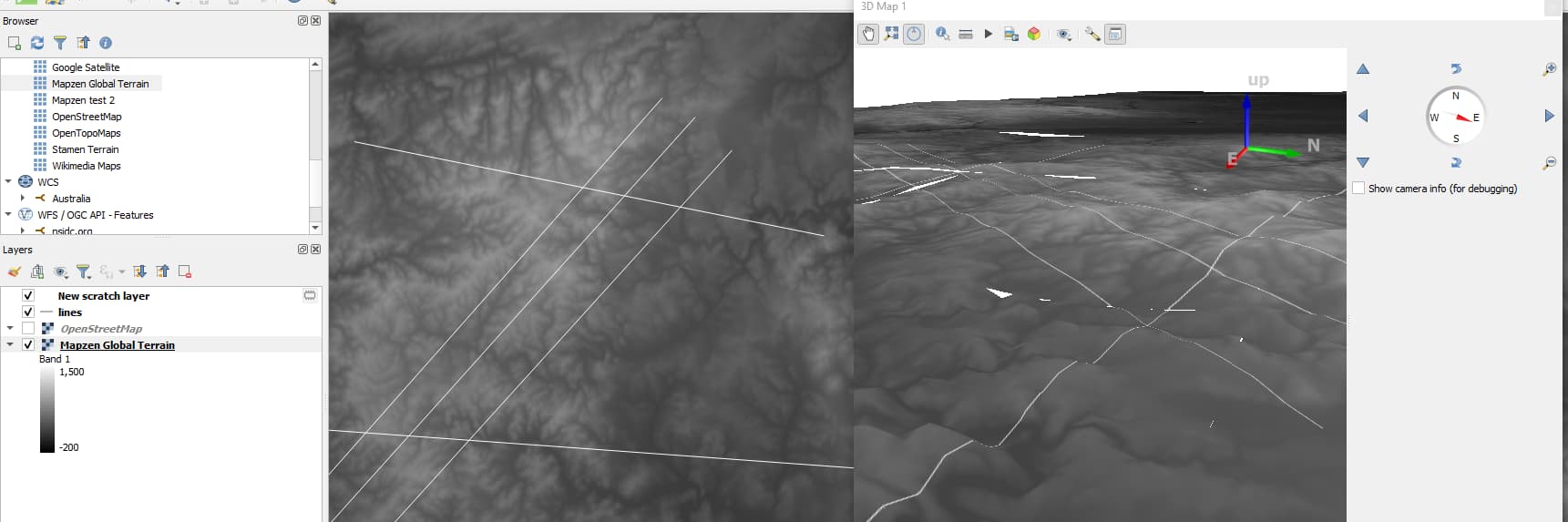
Ah yea, I see the problem with the lines.
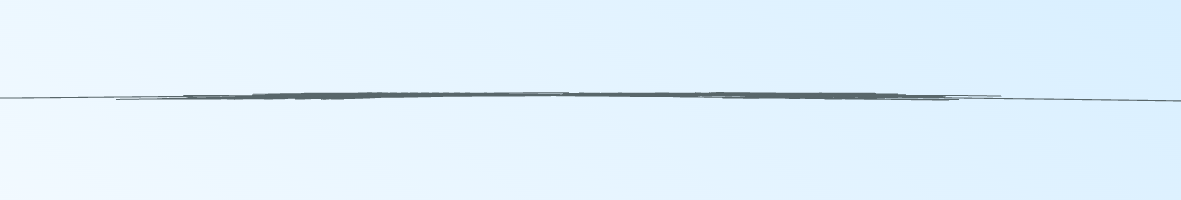
In case you were to add additional control points to the lines wherever a line goes through a different raster cell, you would be changing the data captured in the line.
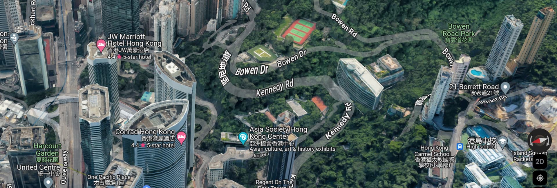
How does 3D google maps do this:
Happy 2024!
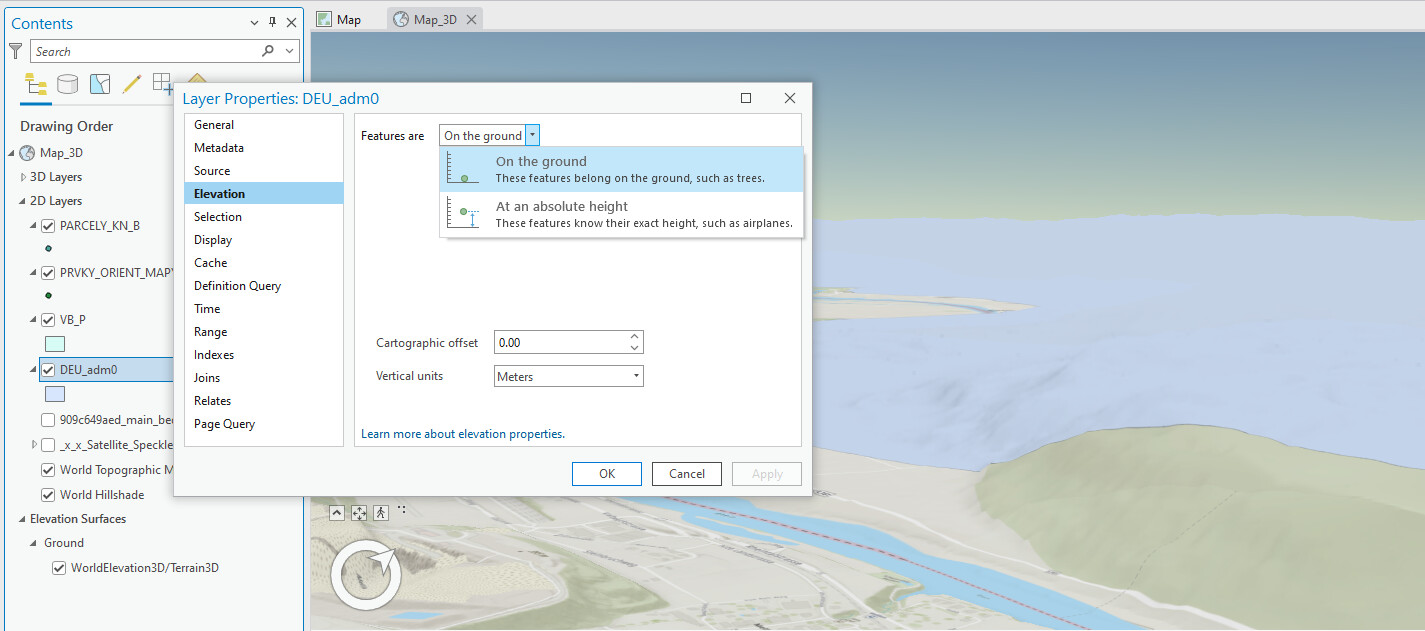
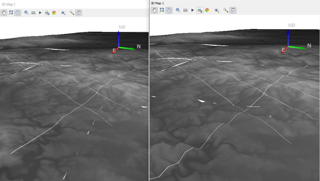
Draping in GIS a common thing to do for displaying the 2d data on a 3d surface, even QGIS 3D Views have an option to project 2d geometry onto terrain:
This display usually has a dynamic approach, where the level of detail of the 3d feature updates as the LOD of the terrain layer changes (e.g. with the zoom):
So 3d projection through conversion to a static 3d model (and preserving the features structure) will need some tweaking, because, as you have experienced yourself with raster layers texturing, the best available resolution comes at cost of being extremely time-consuming ![]() and in this case will multiply the complexity of the feature geometries as well. Would gladly keep the brainstorm on this feature open:)
and in this case will multiply the complexity of the feature geometries as well. Would gladly keep the brainstorm on this feature open:)
Wow, I had no idea about those 3D GIS features in QGIS nor ArcGIS ![]()
Would it be possible you think to use that functionality inside QGIS, and then send the draped lines to Speckle?