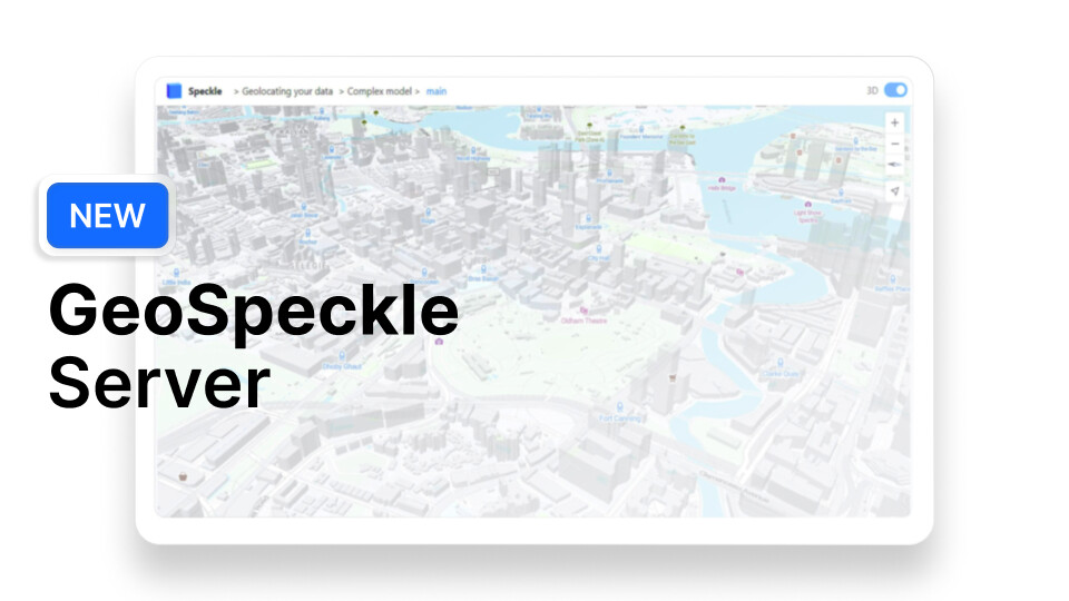
We’re excited to unveil GeoSpeckle, our latest development aimed at bridging the gap between the AEC and GIS worlds. With GeoSpeckle, Speckle now enables users to bring together detailed design models and real-world geographical data, offering a truly integrated solution for those looking to push the boundaries of digital delivery in construction and beyond.
What can you do with GeoSpeckle?
• Enhanced Data Visualisation: Overlay your architectural models onto real-world maps for better context and decision-making.
• Smooth Interoperability: Consume Speckle data in GIS applications like QGIS or Google Earth, without the friction of file-based workflows.
• Granular Control: You decide how much or how little of your model to include, ensuring only the relevant information is used for analysis.
If you want to dive deeper into how GeoSpeckle works and the potential it brings to your workflows, check out our detailed blog post here.
We’d love to hear your thoughts and see how you’re using Speckle to combine AEC and GIS data!
Hi @GIS_Users !
Thanks for joining the community forum, it is great to see you here! The activity on the GeoSpeckle server since the launch reached the levels we could not predict We hear your feedback and your awesome use cases and continue to improve the experience for you! Don’t hesitate to share your thoughts, issues and suggestions with us, for example in this thread
Having a bit of a play this week with mixed results - presumably there are many edge cases to track down for how to search the tree for features so that will come with time. One thing I did want to raise was the following:
I’ve added a long and lat to this commit and asked it for project comments - I’d expect all the project comments to appear, in relation to the project 0,0, but instead I’m just getting one comment, on the long lat.
I demoed this to our geospatial leadership yesterday - tough crowd to impress generally but there were some positive vibes that this direction was working for them!
Hi @chris.welch , great to hear! The missing project comments appeared due to a wrong extraction of the comment location - they all were tied to the camera rather than the object (which was valid for cases when you added the comment while pointing immediately at your object). And as the camera was positioned the same for all 3 comments, the pins appeared in the same location. This is now resolved and working properly
I would be also very grateful if you can pinpoint the edge cases here or in DM, this will help a lot!
Hi @vwb ! Good to hear the feedback! Currently accessing private streams is not possible, as it will drag a lot of security considerations. Basically, it needs a lot of work before it can be implemented securely. But I’m not excluding the possibility in the future
For anyone who resonates with these enhancements (or the features Kat has on her mind), see it all in action at #SpeckleCon2024!
Join us for the “Design with a Sense of Place” workshop in London. @Kateryna will show how GeoSpeckle seamlessly integrates 3D design data with geospatial context. No prior software knowledge is needed—bring your curiosity and a laptop.
It is an experimental early alpha that we make available for trial.
Sadly it runs on a Pentium 386 in the basement and the mice get in the floppy drive occasionally. Someone will herd them out and get it back online later today
I would like to thank to everyone who has tested GeoSpeckle and gave feedback, it is very much appreciated! As an experimental product, it will stop being supported end of March 2025, as we need time to analyze the successes and the failures, and see how to tailor the product better to your needs
If you enjoyed testing it and/or see the value of it being supported in the future, I encourage you to fill in the survey form below and tell about your use case. Even if it’s a personal project, no matter how small, your feedback matters