Apologies if this is a noob question. I have a proposed windfarm project, I am using Civil 3D, Infraworks and QGIS to work on the windfarm model. I am currently trying to assemble this model into one online location so stakeholders can preview / make comments on the design. Speckle so far seems like a good candidate for this purpose.
I have made some progress this morning uploading various parts using the connectors (Civil 3D, QGIS and Navisworks - acting as a middle man for Infraworks which does not have a connector).
One potential problem I have encountered is I need to be able to drape various QGIS data onto my surface. I have aerial imagery as well as various vector data that all needs to sit on top of the surface. Is this possible in the Speckle model?
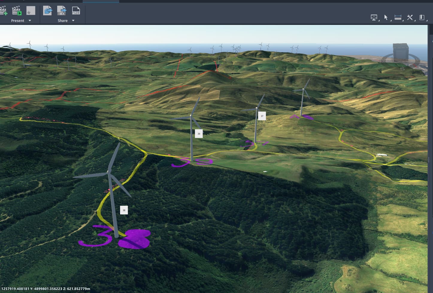
Currently what my Infraworks model looks like, goal is to make Speckle model to a similar level of detail.
We haven’t supported adding textures to Speckle models, so currently what you’re describing with overlaying an aerial image on top of your surface for presentation in the viewer isn’t possible.
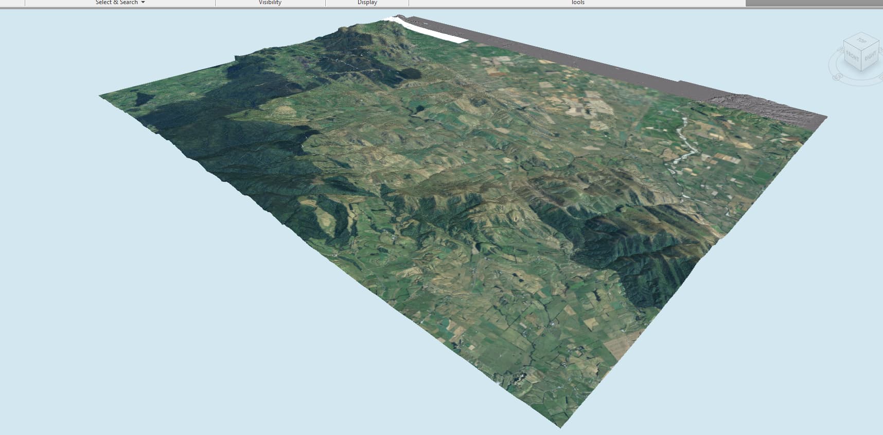
Thanks for clarifying that. I decided to have another go by overlaying texture onto my surface before uploading to Speckle.
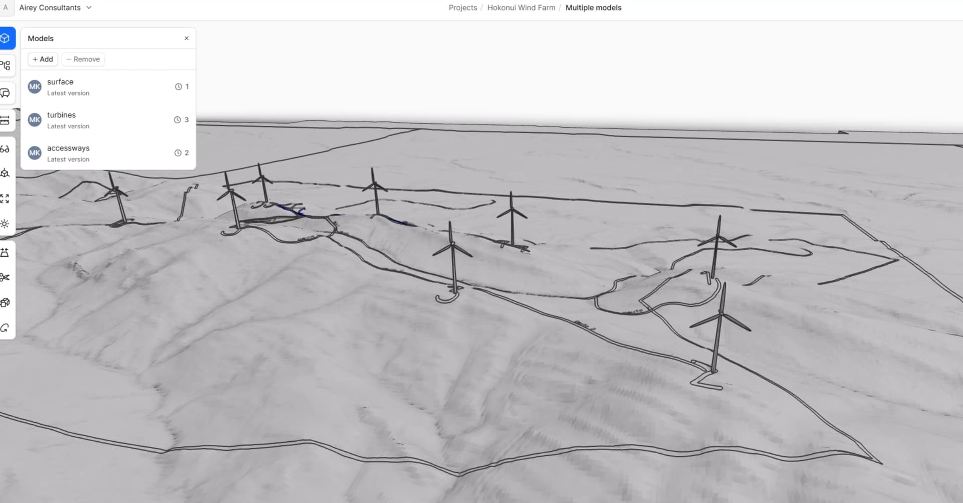
At first it looked like it was working at first when the surface is loading, but when it has finished loading it just reverts back to grey with some linework only.
Workflow I am currently attempting. Infraworks > Navisworks > upload to Speckle via connector.
Ah, by any chance are you looking for colors instead of textures?
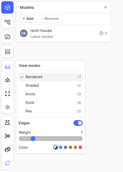
Could you try changing your view mode in the viewer to Shaded and see if any colors render for you?
No, I really need to show the aerial image of the site. It is important for various reasons. Beyond the aerial I was also hoping to overlay heatmaps in another model.
Do you know why this workflow is not currently working for me? The data I am trying to upload is an .fbx file via the Navisworks connector and is 250MB, so maybe too large?
Hi Mike, we do not support uploading textures from our connectors, or rendering textures in the viewer. That is why you aren’t able to see the aerial image that you see in Navis.
hmm… are you able to clarify what the render view can do? Hovering over the icon it says “A realistic view of your model rendered with available materials for surfaces”. Can I not make the aerial be that available material?
Navisworks doesn’t send the aerial image, a bitmap texture on fbx, so there’s nothing for the viewer to render. As @clrkng has stated, texture materials are not supported.