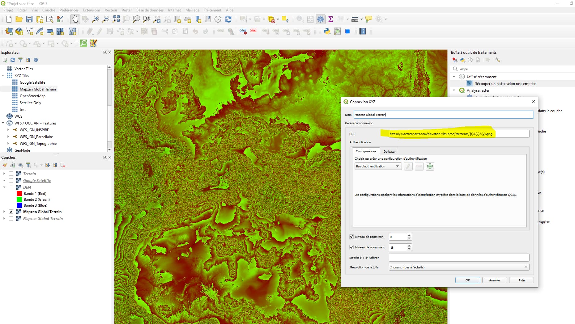
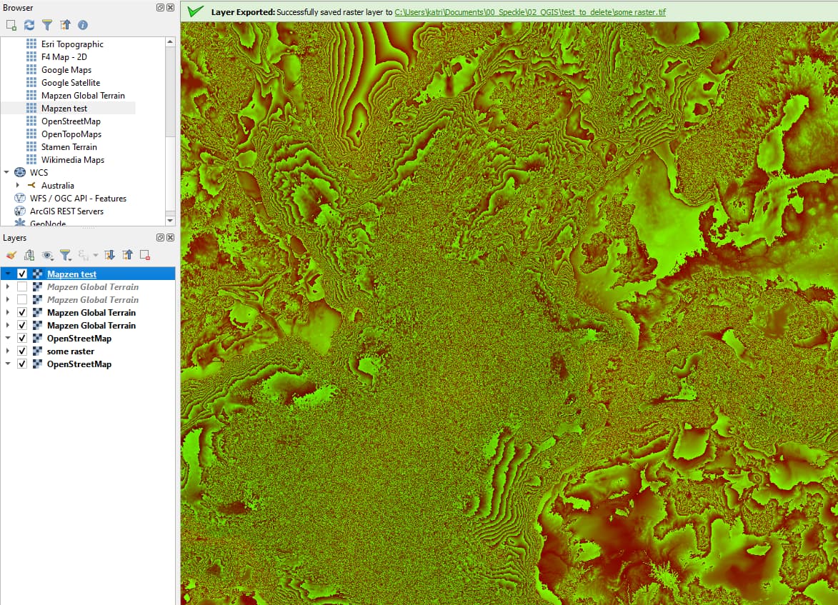
@Kateryna I’m trying to use Mapzen, and configured the same connection as you, getting some psychedelic stuff instead of the black and white gradient you showcased. any idea why?
1 Like
hmm not sure, try saving some region as tiff and set up a proper single-band symbology, let me know if it works!
Hi @Kateryna ,
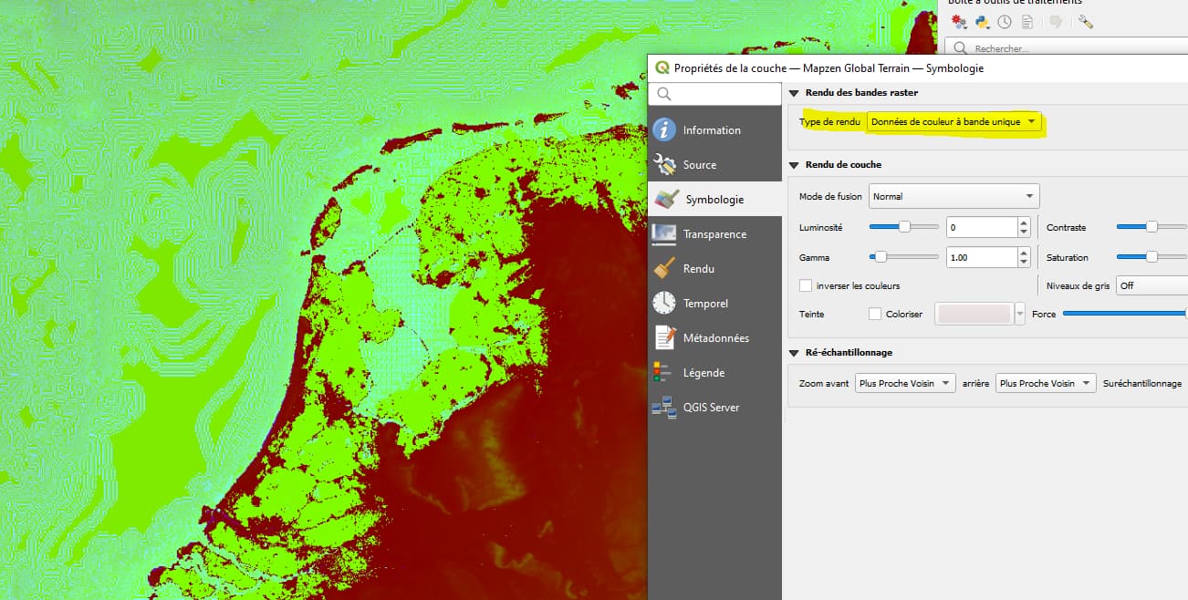
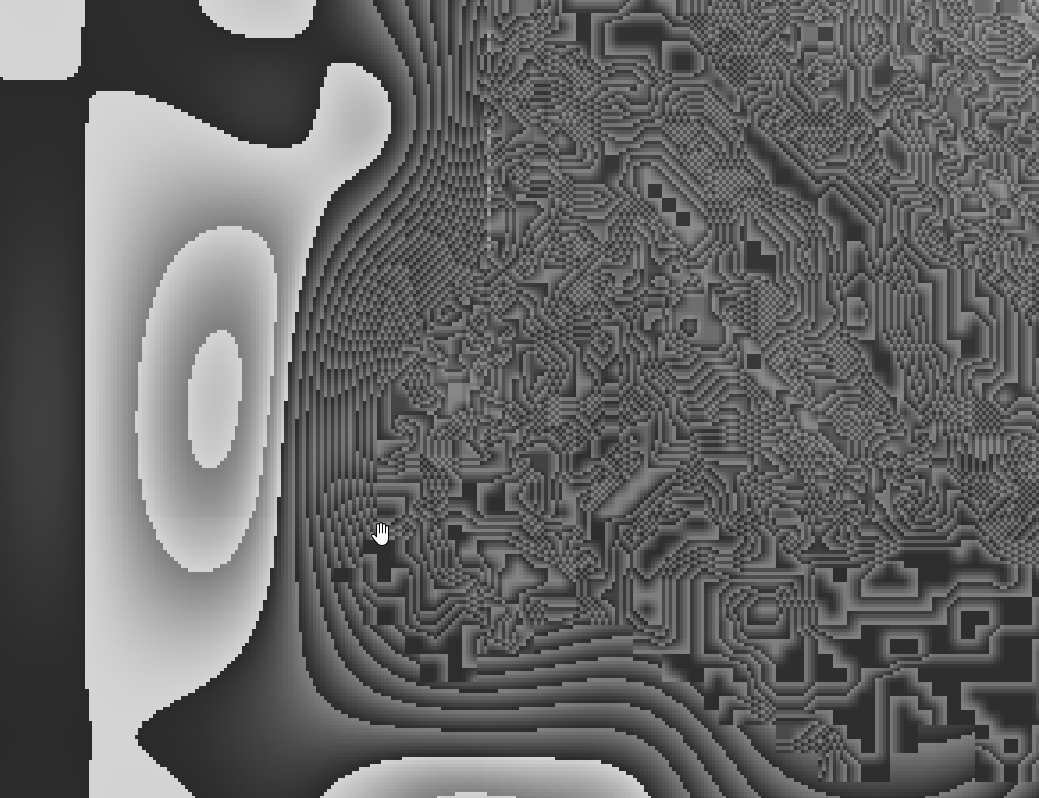
Saving the region as tiff results in the same coloring, and I checked in the symbology tab, it’s in french but it says “coloured data with single band”
Maybe it could help if you share a screenshot with your parameters
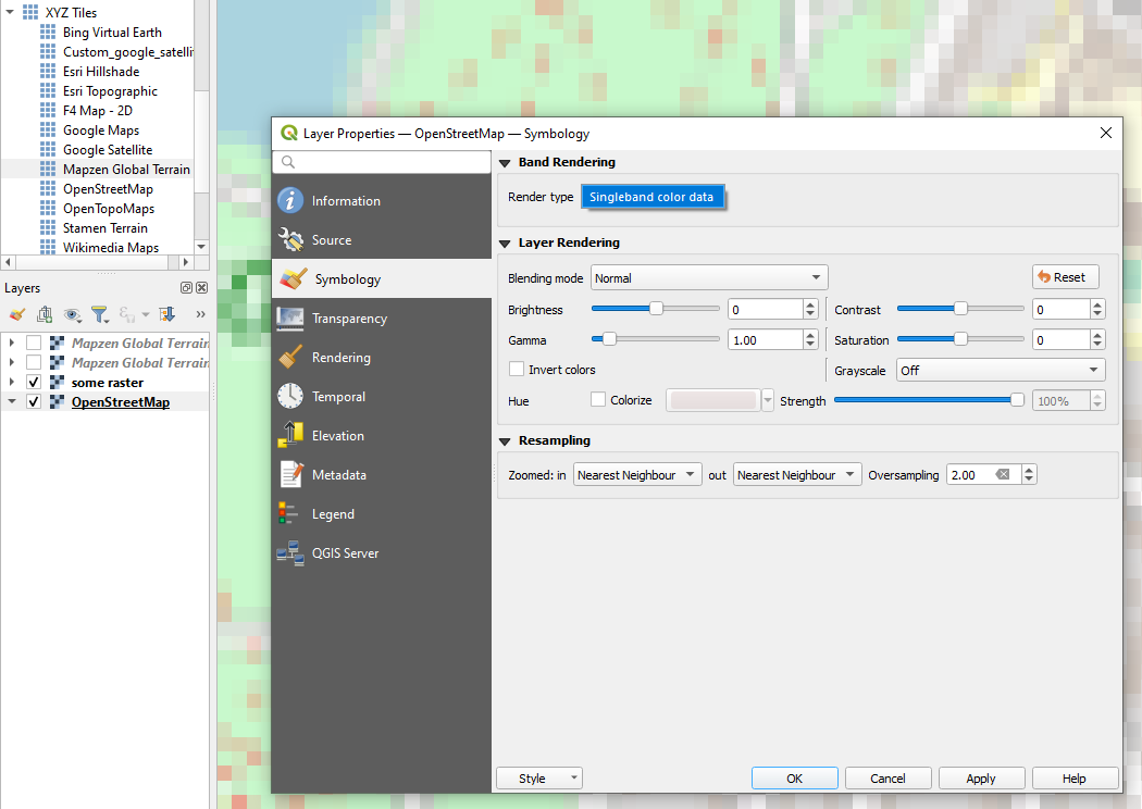
With Mapzen tiles I have normal symbology allowing to change between Singleband gray etc. So I tried to replicate with OSM tiles.
Here are the properties of the Tiles layer, looks like your case:
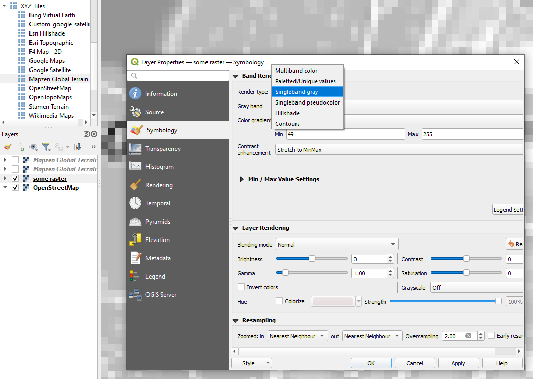
When I save it as tiff, I am able to change the symbology to a proper list of options:
I don’t really know why is this happening, but I would expect that after saving, tiff layer should become a normal editable raster layer. If not, well… we would need to figure it out 
Ok… well yes now I see all the options when saving as TIFF, changing to “singleband gray” just makes the psychedelic stuff gray scale… no idea what’s happening, maybe some display/performance issue…
Ok, I was using QGIS 3.22, updated it to the latest version, and didn’t have such issue anymore 
1 Like
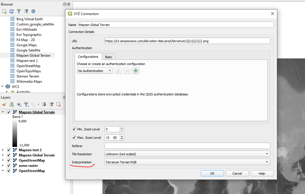
Ok I am able to reproduce!
When adding a connection like Mapzen, the Interpretation should be set to Terrarium Terrain RGB, this feature is described in the documentation and is available from QGIS stable version 3.28 and up.
Probably, you just need to update QGIS:)
UPD: I can see, you did it 1 minute ago, awesome 
2 Likes