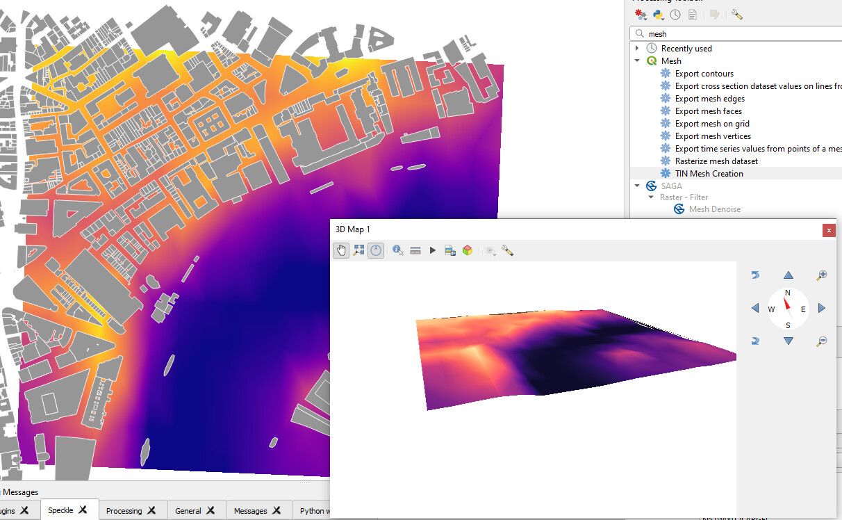
Hi Paul! Generating a 3d mesh with the values from 1 of the bands is entirely feasible! The data is there, color values are being assigned point by point, so adding an extra z-value wouldn’t be hard:) The bigger issue is that, to my knowledge, Speckle connectors are not really doing any geometry transformations in native software, just sending and receiving. So the best guest for solving this, is to advance the connector for QGIS mesh support - the meshes have very straightforward 3d configuration and the export in 3d should be straightforward as well:
And regarding the misplaced values: technically the idea was to have the mesh as a direct representation of Raster from QGIS, and the rest of parameters as well, to be able to recreate the mesh (e.g. in Grasshopper) with any modifications. So you can recreate it as in the screenshot below. The values need to be flipped once though, because QGIS is recording band values horizontally, and Grasshopper is creating grid rows ordered vertically:

Disclaimer about this method: if your selected projection distorts the raster so it’s not orthogonal anymore, it might require a different approach to recreate it in Gh.
Disclaimer #2: “resolution X and Y” parameters of raster are being recorded in the units of selected CRS (by default, meters). But Rhino project can be set to different units, and the “resolution” parameter wouldn’t “know” about it. So you might need to add a scale factor to the resolution. Yes, this is not super convenient approach by now ![]()